
Louzantrail 2027 · Serra da Lousã
Ultra Trail 48K
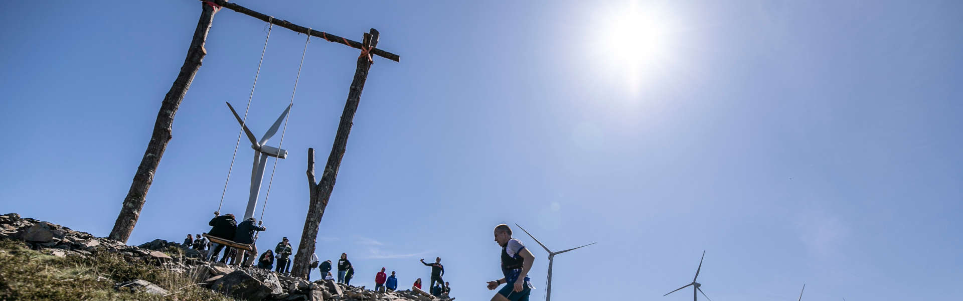
The Ultra returns: 48 km and 3,000 metres of elevation gain on the trails of Serra da Lousã, passing through the village of Francos. A challenge of endurance, self-reliance and pacing.
The challenge
Route and elevation profile
This race is run on a semi-self-sufficient basis. Be ready to manage your effort, nutrition and hydration throughout the route.
Mapa do percurso · utiliza os botões + e − para aproximar e afastar.
Elevation profile
The map and elevation profile are based on the GPX file supplied for the 2027 edition. The file measures approximately 48.4 km. The official distance and elevation gain are those stated in the regulations and may be adjusted slightly when the route is finalised.
Race planning
Aid stations
| Location | Refreshments |
|---|---|
| Letras | Food and drinks |
| Forças Armadas | Food and drinks |
| Francos | Food and drinks |
| Lagar Mirita | Food and drinks |
| Finish | Food and drinks |
| Reference point | Cumulative distance | Cumulative elevation gain |
|---|---|---|
| Letras | ≈ 10,6 km | 1000 m |
| Forças Armadas | ≈ 18,5 km | 2015 m |
| Lagar Mirita | ≈ 35 km | 2150 m |
| Finish | ≈ 48 km | 3000 m |
Cups are not provided at aid stations. Bring your own cup or mug. Aid station locations and the refreshments available may change.
Pack your kit
Race equipment
Mandatory equipment
- Race bib worn on the front and visible at all times
- Whistle
- Windproof jacket
- Working mobile phone
- Emergency blanket measuring 140 × 200 cm
- Waterproof jacket
- Water reservoir with a capacity of 1 litre
- Head torch
Recommended equipment
- Thermal base layer
- Gloves
- Cup or mug
Always check the mandatory equipment in the regulations and in the organiser’s official updates.
Louzantrail 2027 · Ultra Trail
Serra da Lousã